Sevenmile Rim
 Sevenmile Rim (Moab, UT)
Sevenmile Rim is an excellent trail with great scenery that starts out by following the rim of Sevenmile Canyon. The start of the trail off of Cotter Mine Road quickly ascends to the rim and offers great views down onto US 191 and across into the Arches National Park area, as well as into Sevenmile Canyon. There are a few short spur trails that lead to some overlooks as well.
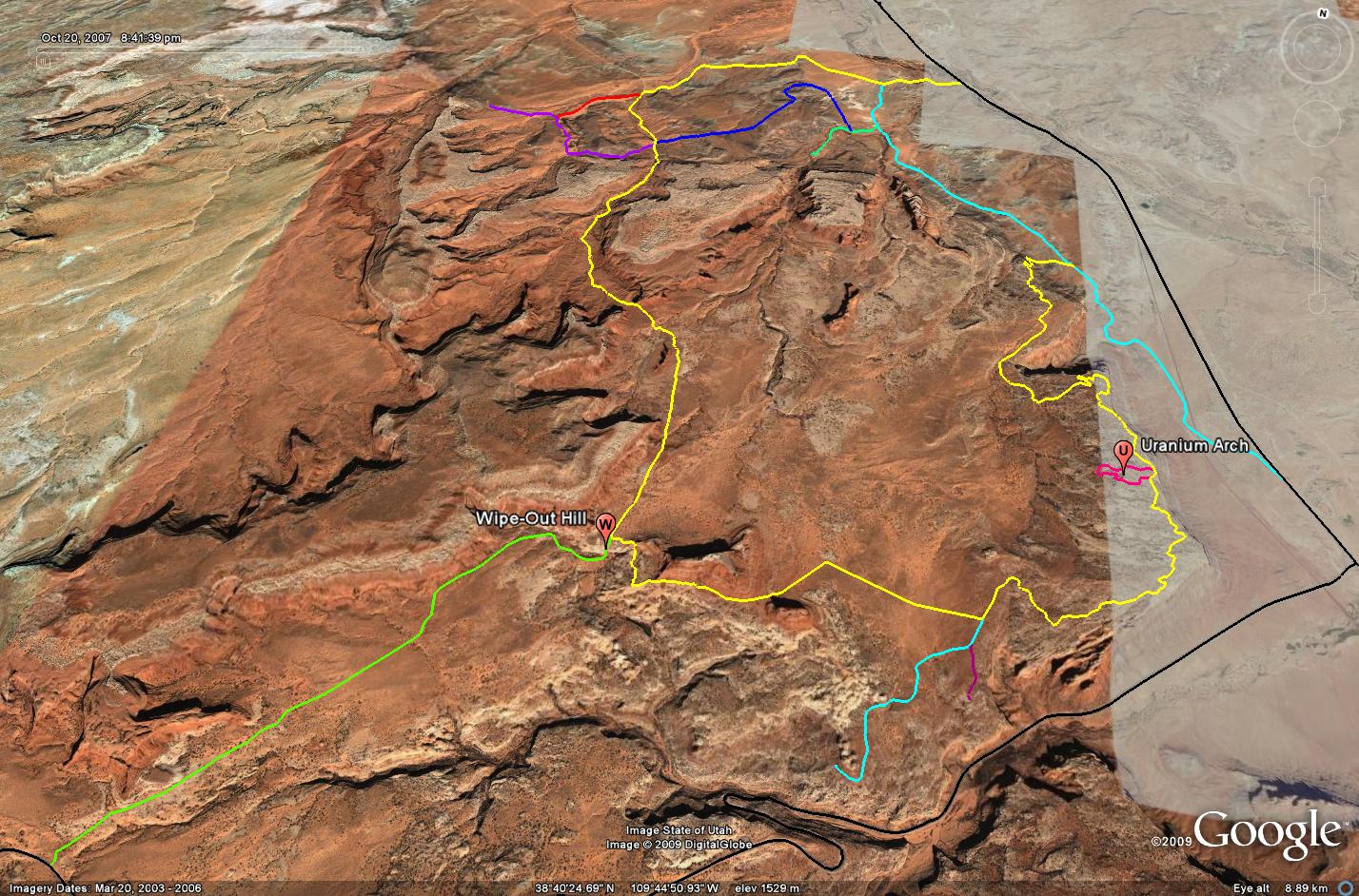
After the tippy section, you have your choice, you can turn left and head down Wipeout Hill and then exit the trail to Highway 313, or you can turn right and follow the Sevenmile Rim trail past the Determination Towers and then into Tusher Canyon (You could also drop down Wipeout Hill and then climb back up to finish the trail if you want to hit that obstacle). Towards the end of the trail, there are a few optional trails you can follow that will take you to Tusher Tunnel and some dinosaur tracks in Mill Canyon. I have included all of these tracks in the GPS files below.
As if the views from the rim are not enough, the trail also travels between the Monitor and Merrimac Buttes and then past the Determination Towers. The scenery along the Sevenmile Rim trail is great, but this trail also offers some challenges to keep it fun. The start of the trail is rocky with a few smaller ledges. Once you travel away from the rim towards the Monitor and Merrimac buttes, the trail gets soft and sandy for a while. When driving between the buttes, you are back on an expanse of slickrock, that leads to one very tippy section. While this section of the trail looks intimidating, it is really not as back as it looks when you drive through it.
Please feel free to leave your comments and post your pictures from the Sevenmile Rim trail below.
GPS Tracks for Sevenmile Rim
![]() Sevenmile Rim GPX Track
Sevenmile Rim GPX Track
(Right click and ‘Save Target As’)


This page last updated: 6/18/2009